NaCzarter Team
· Updated
Lake Kisajno — Sailing Guide (Islands, Ports, Routes)
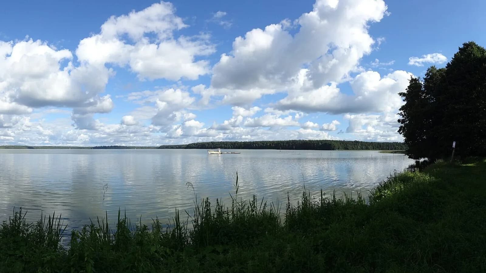
Lake Kisajno is the first big stretch of water you will see after leaving Giżycko heading north. A labyrinth of forested islands, a sanctuary for swans and notorious boulder fields make it a beautiful lake — but one that demands your attention. Every cruise from our base at Port Royal towards Sztynort and Węgorzewo passes through it, so it pays to know where the fairway runs, where to stop for the night and why the islands are off limits.
Lake Kisajno in numbers
Kisajno covers roughly 1,896 hectares, stretching about 8.5 km in length and up to 3 km across. Its maximum depth reaches 25 m, with an average of around 8.4 m. Formally it is not a lake in its own right — it is the southernmost link in a complex of six connected waters known collectively as Mamry, which is why it is sometimes called "Southern Mamry". Its character comes from the islands: from Duży Ostrów and Wielka Kiermuza down to little Dębowa Górka.
From Niegocin to Kisajno: the canal and the swing bridge
The classic route runs along the Giżycko Canal (also known as the Łuczański Canal) — built in 1765–1772 and 2,130 m long — straight through the middle of town to Tracz Bay. Along the way waits both an attraction and a bottleneck: the swing bridge in Giżycko, turned by hand by a single operator. Check the opening times before you set out, and note that you can only comfortably raise the mast once past the canal, out on Tracz Bay. The western variant skips the town centre: from Niegocin via the Niegociński Canal to Lake Tajty and on through the 250-metre Piękna Góra Canal — but a fixed bridge crosses it, so lowering the mast is required.
Islands and the reserve: admire them from the deck
Kisajno's islands belong to the ornithological reserve "Islands on Lakes Mamry and Kisajno", established as early as 1957 — 20 islands in total, where more than 110 bird species have been recorded, including cormorants, grey herons, bitterns, red-necked grebes and cranes. The rule is simple and absolute: no landing and no camping. We do not moor, we do not step ashore — the islands are admired from the water, ideally while sailing the Swan Route along the western shore, between the straits and bays that earned the lake its "swan" nickname. Dębowa Górka, according to local lore once a place of worship of Perkun, is today also a reserve where mooring is forbidden. And if you enjoy a touch of cinema: it was on the waters of Kisajno that Roman Polański shot scenes for "Knife in the Water".
The fairway and the notorious boulder fields
Kisajno is famous for its boulders and shallows, so stick to the marked fairway. The shoals are marked with black-and-yellow cardinal buoys, and in places a line of red buoys separates the bays from the main route. Rocks lurk near Dębowa Górka, off Olchowy Róg, along the eastern shore near Pierkunowo and along the whole stretch between Olchowy and Królewski Róg. Be warned: in the 2026 season some of the cardinal buoys are worn out and the marking may be incomplete — all the more reason to hold the middle of the fairway and keep an eye on the chart.
Ports and anchorages on Kisajno
The harbour hub is Tracz Bay, just beyond the canal. Here you will find the "Oczy Mazur" centre — the former Almatur marina with the famous eyes painted on its hangar in 1971 — and right next door the separate COS Giżycko yacht harbour and the Stranda waterside station. In the south-western corner of the lake, by the Piękna Góra Canal, the Łabędzi Ostrów marina offers shore power, water and showers. For a wild stop, the best choice is the Zimny Kąt mooring ground on the north-western shore, or drop anchor in one of the sheltered bays along the shoreline — never by the reserve islands.
Further north — and who this water is for
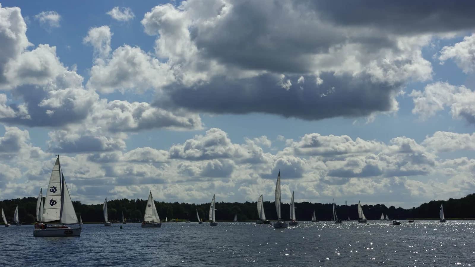
The boundary with Dargin is a matter of convention — it runs across the narrowest point of the passage between Królewski Róg and Wysoki Róg. From there the way opens up to Sztynort, Dargin and Lake Dobskie, and on the western side you pass Fuledzki Róg with its boulder field of nearly 6,000 glacial erratics (the largest measuring 9.3 m around). Kisajno has something for everyone: beginners get wide, sheltered water and harbours close to Giżycko, while seasoned sailors get a navigational puzzle among the islands. The easiest place to start your cruise is with us: check out yacht charter on Lake Kisajno or browse our whole fleet of sailing yachts in Masuria.
Frequently asked questions
Can you camp on the islands of Lake Kisajno? No. The islands are part of an ornithological reserve and landing and camping are strictly forbidden. Moor in the harbours and bays along the shore, and admire the islands from the deck.
How do you sail from Giżycko to Kisajno? The shortest way is along the Giżycko Canal through the town centre and the swing bridge out to Tracz Bay. Alternatively, take the western variant via Lake Tajty and the Piękna Góra Canal, where a fixed bridge requires lowering the mast.
How deep is Lake Kisajno? The maximum depth is about 25 m and the average around 8.4 m. The lake covers roughly 1,896 hectares, measuring 8.5 km long and up to 3 km wide.
Is Kisajno difficult for beginner sailors? No, as long as you keep to the marked fairway. The boulder fields and shallows are marked with cardinal buoys, and the sheltered bays and harbours close to Giżycko are forgiving of mistakes.
Cover photo: Piotrek_kolucki / Wikimedia Commons (CC BY 3.0).